Borah Peak
Borah Peak is Idaho’s highest point (12,662'). It is ranked Class VIII in the Martian Classification. Around an 8 mile round trip with about 5,500’ elevation gain. Plan for 7-8 hour summit time and 12 hour round trip time.
I summited Aug. 29, 2021.
Borah Peak Trailhead starts in a parking lot. There is maybe 16+ parking spots, depending on how people park, along with a couple more campsites. Also on site is a vault toilet, however, there are no trash bins or water. So, you will have to bring in what you need and take out. The parking lot is roughly at 7,400’ and the trail starts at the zig-zag fence.
After passing through the zig-zag fence the trails starts in, let’s call it a pasture area, there was a cow that walked across the night before. The trail only has a slight incline at this point, walking through grown up, green trees. It is a relatively straight hike, nothing to crazy. Roughly 900’ gain, .87 mile.
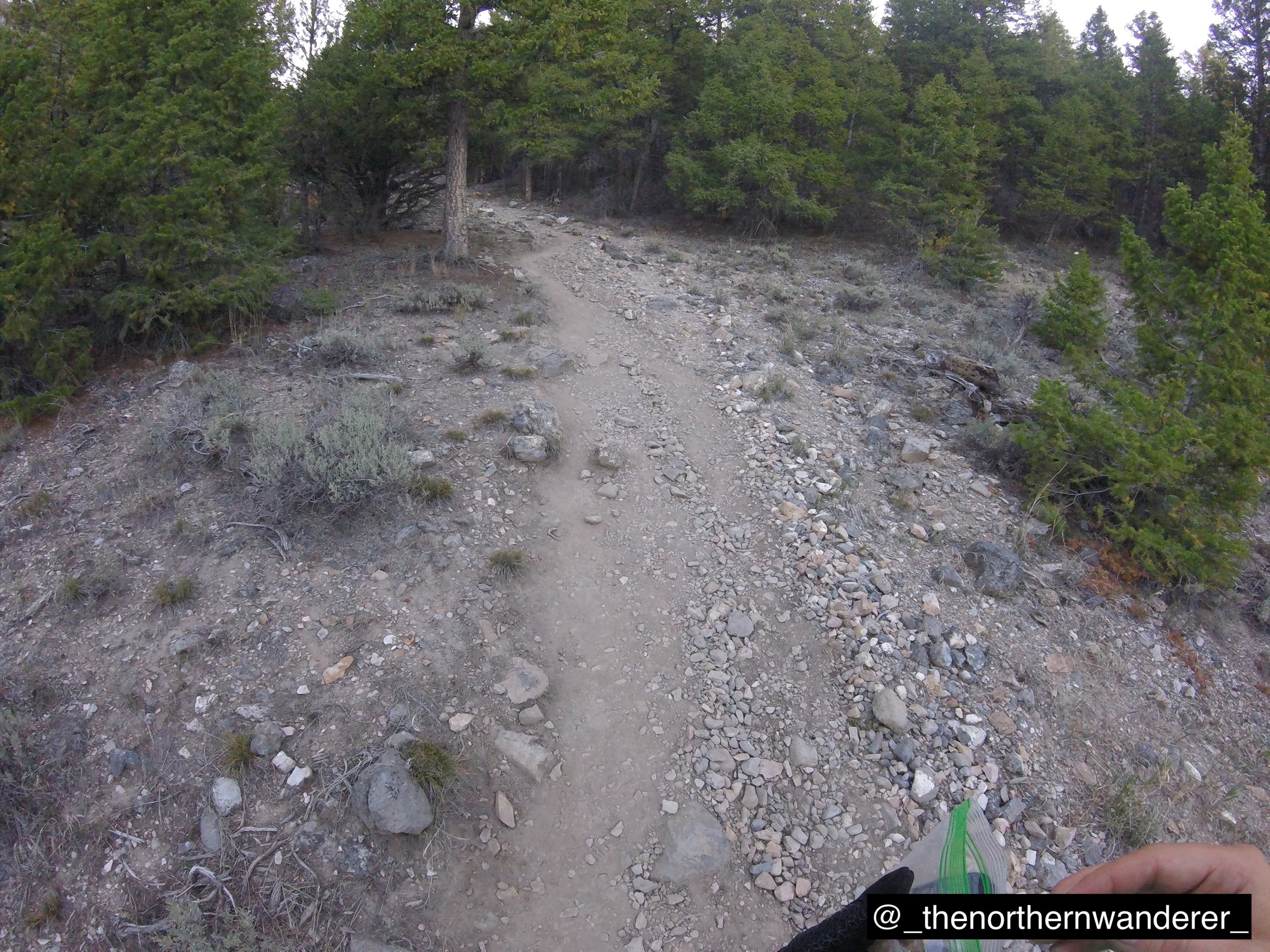
The next section begins the switchbacks, trees start to become more sparse and many are down along the side of the trail. Every now and then you can look back and see the parking lot through the trees. Other than that, it is pretty basic trail. Nearing the end of this section, at the tree line, there is a small wind break “structure”. This is where I had a water drop for the way back down. Roughly 1,450’ gain, .84 mile.
The next portion is even steeper switchbacks. The trail turns into a pebblier and looser path. There are no more trees from here to the top, so everything is exposed to the weather. Roughly 410’ gain, .29 mile.
The trail seems to give a little reprieve in this next area. There are no more switchbacks, just straight uphill hiking. From here you gradually see Chicken-Out Ridge get closer and closer, with Borah Peak visible in the distance. Roughly 1,900’ gain, .96 mile.
Chicken-Out Ridge. This is no joke of a ridge, when I crossed there was no snow and everything was dry. I rocked climbed over the first peak and was straddling the second, when I noticed a cairn along the south shoulder of the ridge. It was a scaling scramble to get over to the cairn, but then it did turn into a trail. Follow this to the “mid-point” of Chicken-Out and the trail crosses over to the north shoulder of the ridge.
This then goes to the end of the ridge, but ends at the “slide-out”. So now it’s a scramble back to the peak of the ridge and, at this time, there was a rope secured to the top to use to scale the rock face back down to the trail. Roughly 250’ gain, .16 mile.
There is another little reprieve in this next section. It is some casual hiking round the northern shoulder on this ridge, which transitions to a flat ridge top. This will take you to the base of the final ascent. Roughly 75’ gain (-25’ loss), .32 mile.
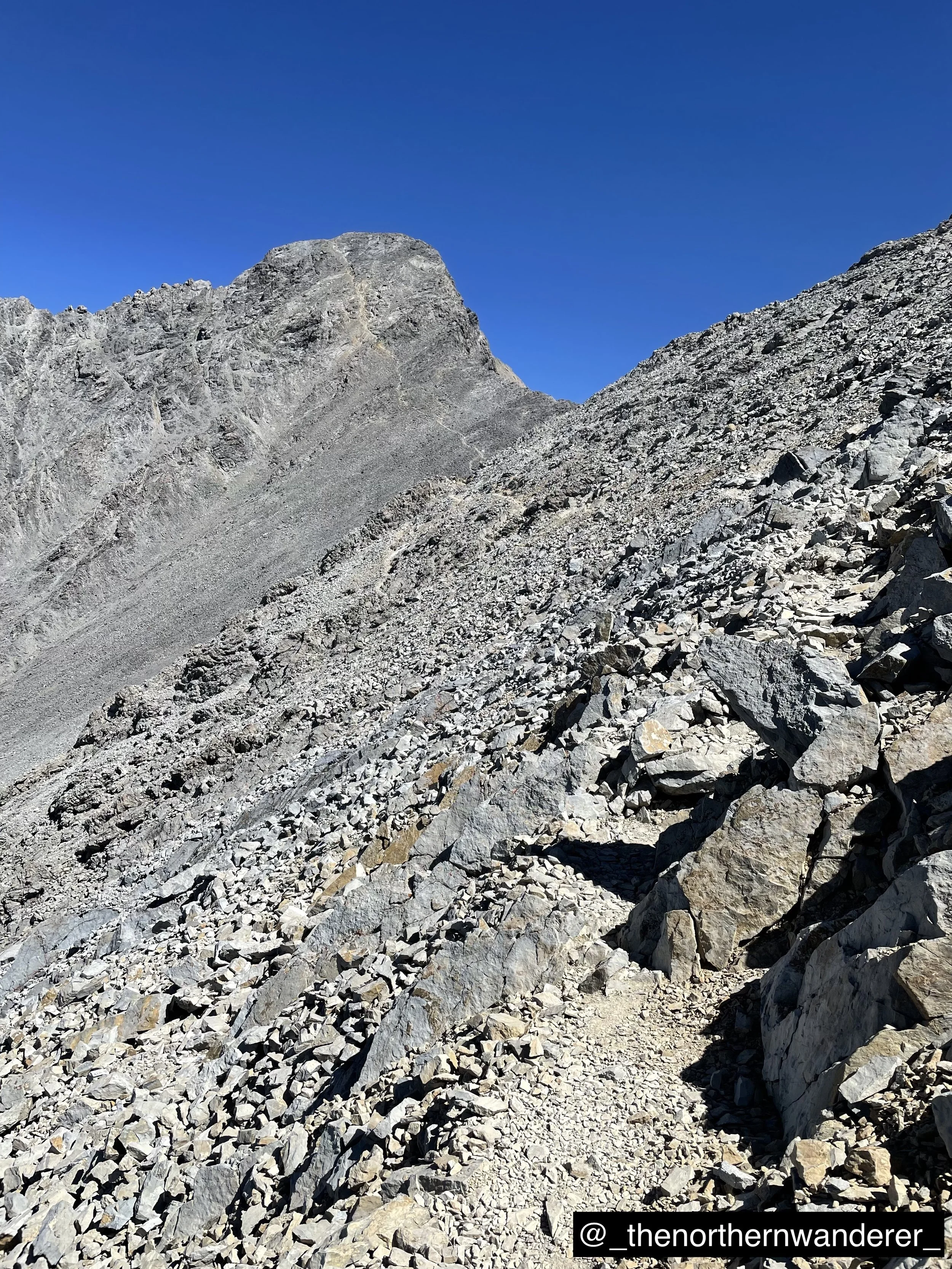
The final ascent becomes quite tricky. From further away, it is easy to see the path. However, while on the trail it becomes much harder to find as the climb continues on and one trick to help is to look backwards (down the mountain) to see where the trail has been and guess where it could go. There can be two approaches to this, 1) go off trail and scramble across larger boulders or 2) stay on trail and traverse the loose pebbles, but eventually the boulders become too large and have to get back to the trail anyways. Pressing on, you arrive at a small flat shoulder for a short break, but the peak is visible with another 25 yards to go.
Upon reaching the top, when I went, there was a wooden plaque calling out the peak elevation, along with an ammo box with notebooks to log names and dates (if chosen). Roughly 740’ gain, .38 mile.
Check out my experience in my Journal (Day 5: Summit Day)


